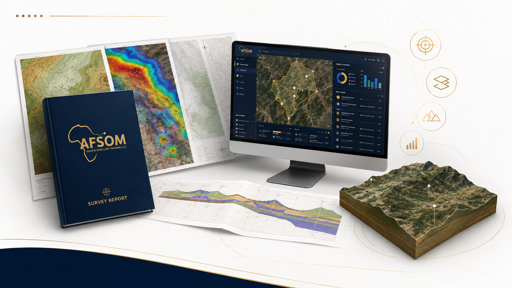
DELIVERABLES
Clear Reports, Maps and Data for Better Decisions
Comprehensive geological and mapping outputs — maps, reports, data, models, and dashboards — produced to professional standards for confident decision-making.
Every AFSOM project results in professional deliverables that are accurate, well-documented, and immediately useful. Our outputs span multiple formats and serve different purposes — from detailed geological maps for field teams to concise management summaries for executive decision-makers.
Below is our complete range of standard deliverables, organized by category. Each deliverable is produced to professional standards with quality control embedded at every stage of production. Use the filters to explore the outputs most relevant to your needs.
Showing 10 of 10 deliverables
Geological Maps
mapsProfessional geological maps at scales appropriate to project requirements, showing lithological units, structural features, alteration zones, mineralization indicators, and key field observation points. Produced using systematic field mapping integrated with remote sensing interpretation and GIS cartography.
- Lithological unit boundaries with descriptions of rock types, age relationships, and stratigraphic context
- Structural features including faults, folds, joints, foliations, and lineaments with measured orientations
- Alteration zones classified by type, intensity, and mineral assemblage
- Mineral occurrences and sampling locations with field assessment notes
- +3 more features
Topographic Maps
mapsAccurate topographic maps with contours, spot heights, drainage, infrastructure, and terrain features. Essential base maps for engineering design, land-use planning, exploration, and environmental studies.
- Contour lines at project-specified intervals with labeled elevation values
- Spot heights and surveyed feature points with coordinate data
- Drainage network including streams, wadis, and water bodies
- Transportation infrastructure including roads, tracks, and trails
- +3 more features
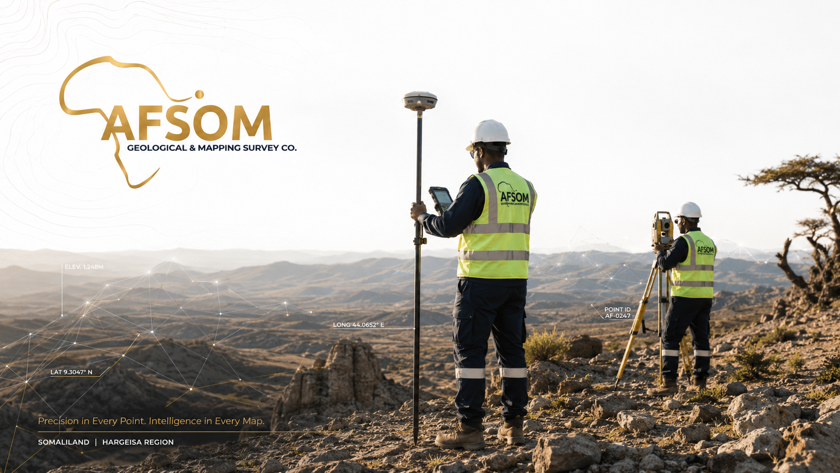
Survey Reports
reportsComprehensive survey reports documenting methodology, survey control, data collection, processing, and results. Provide a complete and transparent record of survey activities and findings.
- Project introduction with scope, objectives, and survey specifications
- Methodology description including equipment used, survey techniques, and procedures
- Survey control network documentation with station coordinates and quality indicators
- Data processing workflow including adjustment results and accuracy assessment
- +3 more features
Exploration Reports
reportsDetailed exploration reports covering all aspects of mineral exploration programs including target generation, field investigations, sampling results, geological interpretations, and recommendations for further work.
- Exploration program overview with objectives, location, and property description
- Regional and local geological setting with exploration rationale
- Field methodology including mapping, sampling, and survey techniques
- Sampling results with statistical analysis, quality control data, and anomaly identification
- +3 more features
Cross-Sections
mapsGeological and topographic cross-sections illustrating subsurface geometry, stratigraphic relationships, structural architecture, and terrain profiles. Essential for understanding three-dimensional geological and terrain context.
- Geological cross-sections showing interpreted subsurface rock unit distribution and structure
- Topographic profiles derived from digital elevation models or survey data
- Stratigraphic columns showing vertical succession of rock units with descriptions
- Structural interpretation including fault geometry, fold shapes, and kinematic indicators
- +3 more features
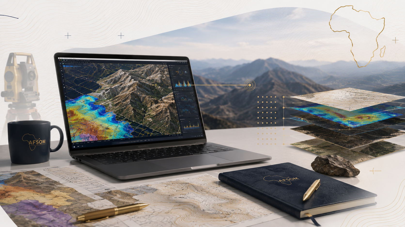
Terrain Models
modelsDigital Terrain Models and Digital Elevation Models representing ground surface topography with high spatial resolution and vertical accuracy. Essential for engineering design, hydrological modelling, and spatial analysis.
- Digital Terrain Model representing bare-earth surface with vegetation and structures removed
- Digital Surface Model representing top of surface features including vegetation and buildings
- Gridded or TIN format with metadata documenting resolution, accuracy, and source data
- Contour and breakline data used in surface generation included as supporting information
- +3 more features
GIS Datasets
dataComprehensive geospatial datasets organized in a structured geodatabase with feature classes, attribute tables, domains, and metadata. Provide the complete spatial data foundation for ongoing project use.
- Geodatabase with defined feature classes for geology, structure, geochemistry, and survey data
- Attribute tables with consistent field definitions, domains, and coded values
- Metadata documentation for all layers including source, scale, date, and accuracy
- Coordinate system definition and projection files
- +3 more features
Digital Dashboards
dashboardsInteractive web-based dashboards that present geological, survey, and exploration data through maps, charts, tables, and filters. Enable clients to explore data, generate views, and extract information independently.
- Interactive map interface with layer toggling and feature identification
- Chart and graph widgets linked to spatial data for dynamic visualization
- Filter controls for selection by attribute, date, location, and data type
- Data download functionality for exporting filtered selections
- +3 more features
Management Summaries
reportsConcise management summaries distilling technical findings into clear, non-technical briefings for executives, investors, and decision-makers. Focus on key results, implications, and recommended actions.
- Executive summary highlighting critical findings and their significance
- Non-technical description of project objectives, methodology, and results
- Key maps and figures selected to illustrate principal outcomes
- Implications for the client's business, project, or investment
- +3 more features
Technical Evaluations
reportsIndependent technical evaluation reports providing objective assessment of mineral properties, exploration data, geological potential, or project status. Often used for investment due diligence, property transactions, and regulatory compliance.
- Terms of reference defining the scope and purpose of the evaluation
- Independent review of available geological, exploration, and technical data
- Assessment of data quality, methodology, and interpretation
- Evaluation of mineral potential, project status, and technical risks
- +3 more features
Understanding Our Deliverable Categories
Each category represents a different type of output, designed for specific uses and audiences.
Maps
Professional cartographic products showing geological, topographic, and thematic spatial information.
3 deliverables in this category
Reports
Comprehensive technical documents presenting methodology, results, interpretation, and recommendations.
4 deliverables in this category
Data
Structured geospatial datasets and databases for ongoing client use, analysis, and integration.
1 deliverable in this category
Models
Digital terrain and surface models representing topography and subsurface geological surfaces.
1 deliverable in this category
Dashboards
Interactive web-based visualization tools for data exploration and presentation.
1 deliverable in this category
Need a Custom Deliverable?
Our deliverables are tailored to each project's objectives. Discuss your requirements and we will define the outputs that best serve your needs.